The Willamette River Greenway Program
Visionary to the Core
This program is critical to the existing, and future health of the river. It also provides opportunities for people to get out and enjoy nature - often close to home. While we have some good public lands along the river, they are often few and far between. Today we need to add to the existing floodplain lands along the Willamette River, and restore them. Here is a bit of the history of the Willamette River Greenway.
In 1966, Bob Straub was campaigning against Tom McCall to be Oregon's next Governor. In July of that year Straub proposed a Willamette River Greenway in his campaign. This was a visionary idea - to establish a long line of natural lands, recreational and scenic, along the entire length of the mainstem Willamette River from south of Eugene to Portland! Karl Onthank, Dean of Students and a long-time conservationists at the University of Oregon, is said to have talked with Straub and McCall about the general idea of a Greenway along the Willamette. What we do know is that Straub put forward the first official proposal for such a program.
The Willamette River Greenway proposal was to establish a nearly 200 mile long corridor along the river on par with the vast Oregon Coast, or the majestic Cascade Mountain Range. It was envisioned as a place for nature, and a place where people could use and access the river.
Imagine a vast tangle of wild river-lands ripe with willow, cottonwood, and full with weaving expanses of spirea and dogwood. It is a place with immense side channels and backwaters teeming with birds, amphibians, and mammals. Here you can see nature, be immersed in it, and gain some solitude and meaning from it.
Being thoughtful and of a similar sentiment in regard to the Willamette, Tom McCall immediately endorsed the idea. Of course, McCall had been a champion for cleaning up the Willamette River as a journalist, and helped to usher in many significant changes in waste water treatment and more during his tenure as Governor. These two politicians, Straub the Democrat, and McCall the Republican, saw a similar value in protecting and preserving lands along an amazing river system. They saw the value for people, and for all of the native species that had been living in and along the river for thousands of years.
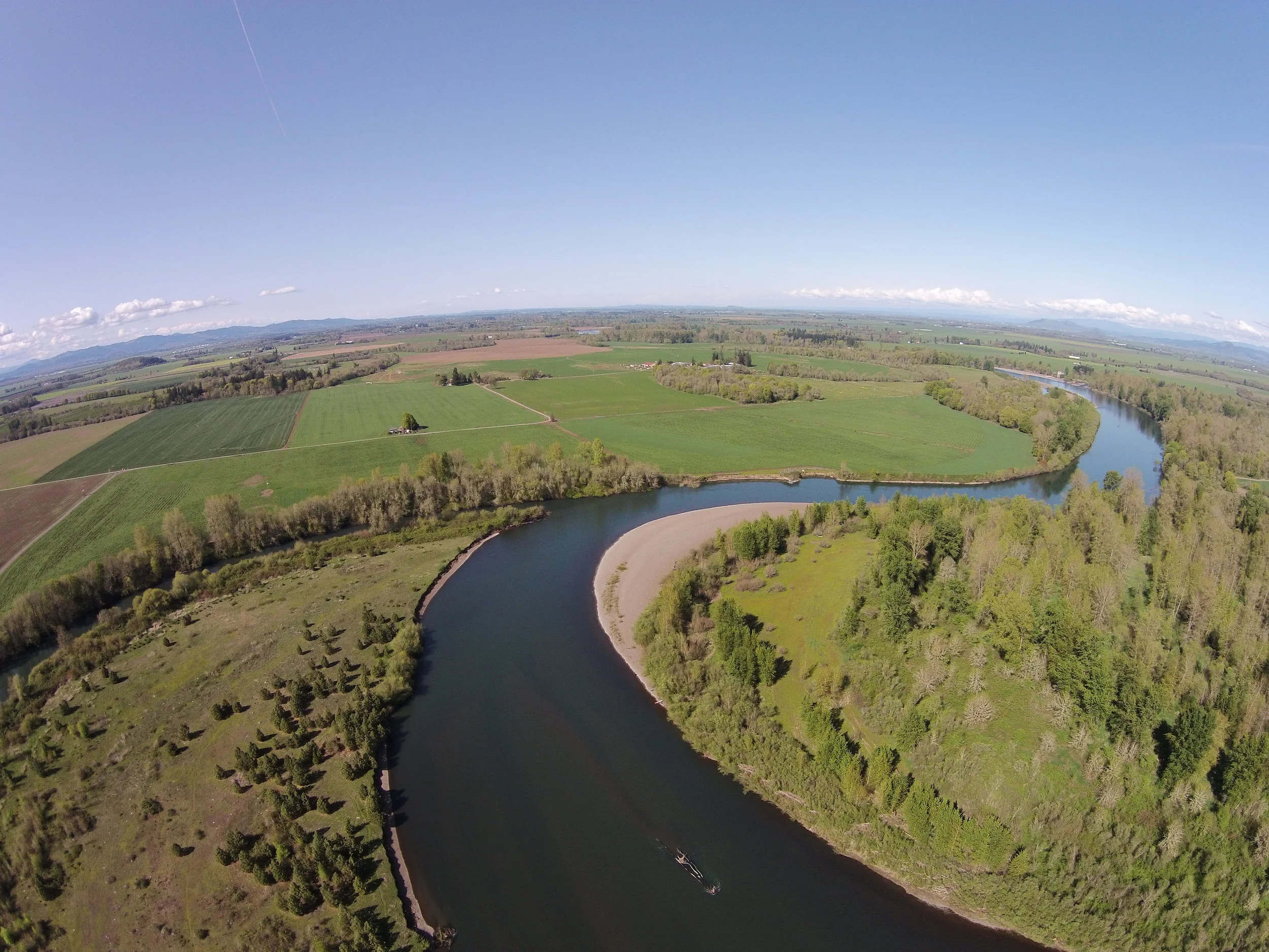
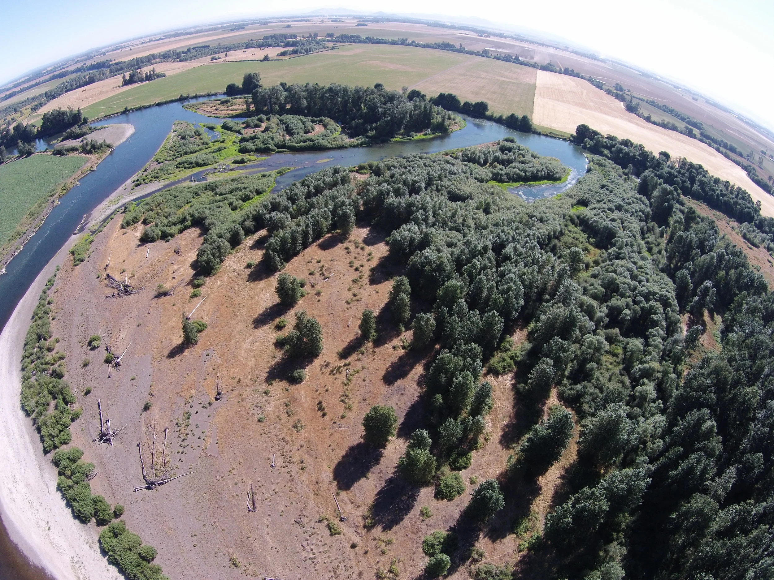
Tripp Island Greenway - Just a few miles downstream of Corvallis.
McCall won the Governship in 1966, and went to work seeking to implement the Willamette Greenway. He and his administration sought to convert the concept from a wonderful descriptive notion, to a specific program that could be applied to both public and private lands. Such a program would have to work with the myriad riverside landowners - many of whom were agricultural - along the length of the river.
Scouler's Willow near Blue Ruin just south of Eugene.
Over the course of several years, McCall's office sought to implement the Willamette Greenway. At first a grant program provided funding to cities and counties for the purchase of riverside parklands. For the most part, the Cities utilized this grant program, with the exception of the Eugene area, where there was an active supportive friends group to support the Greenway. That resulted in a more robust role by Lane County in purchasing riverside lands. In most cases the cities purchased lands that were understandably close to the city. This reality left out the vast tracts of riverside floodplain land between the cities, which didn't meet with the vision of the Willamette Greenway concept. This initial effort resulted in many wonderful city parks, such as some of those found in the Albany area. For the rest of the Willamette, things went more slowly.
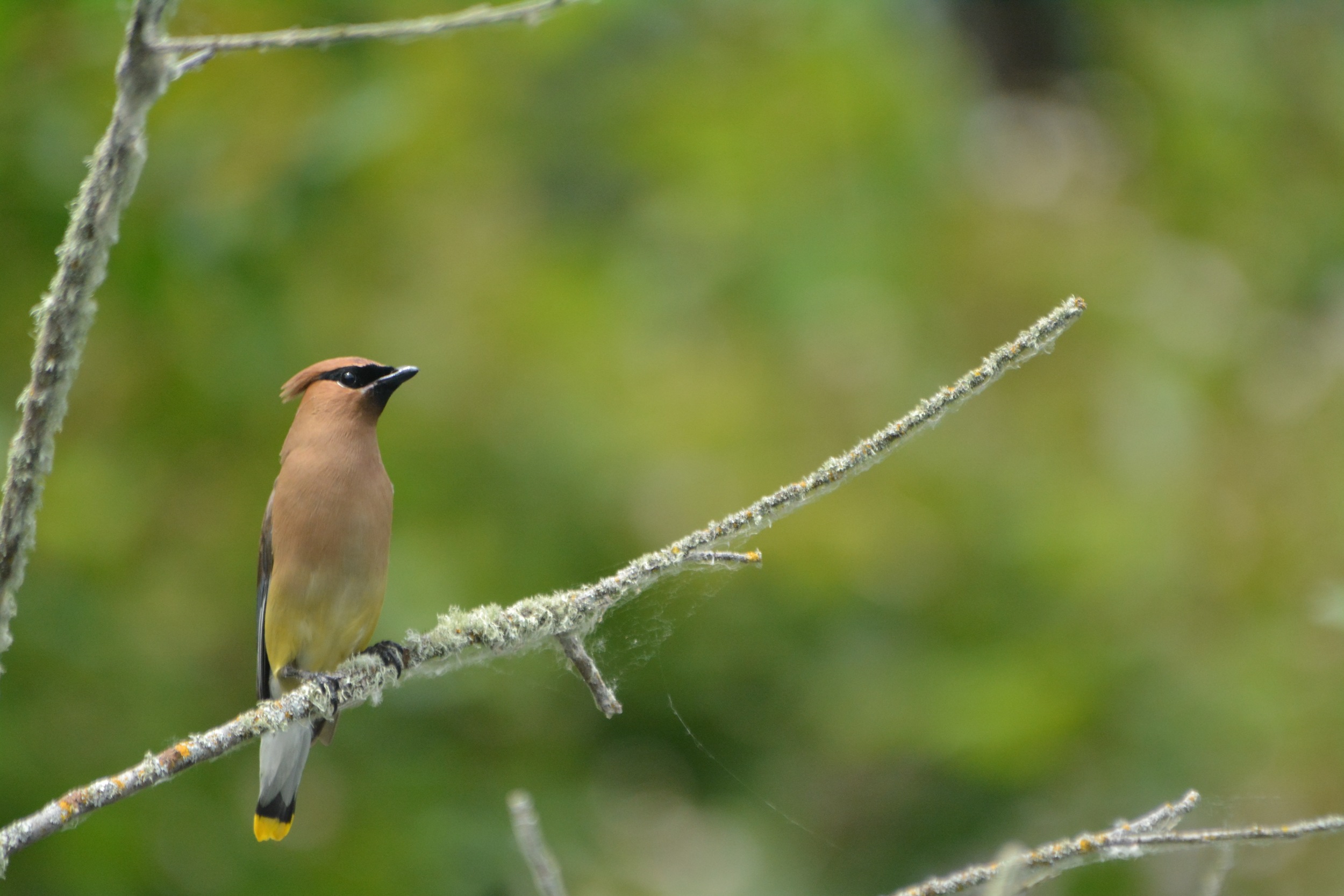
Cedar Waxwing near Blue Ruin Greenway.
Generally in those days agricultural landowners didn't trust the Greenway idea, nor did they like how it was to be implemented. It has been said that they feared people traveling down river in canoes, rafts, and other boats trespassing on their lands. After the grant program ran its course, in 1971 the State of Oregon proposed 5 signature parks - Elijah Bristow, Lower Kiger Island (today's Bowers Rock), Lone Tree Bar (Willamette Mission), Molalla River State Park, and of note - Norwood Island State Park.
The signature parks proposal resulted in additional controversy, as multiple agricultural landowners pushed back against some of the new park proposals - notably Norwood Island and Willamette Mission. After a time, Norwood Island was dropped from consideration under intense pressure from some riverside landowners. Some said the word "condemnation" was used by State workers seeking to purchase land from private landowners. In fact that approach had been used by the State of Oregon at Willamette Mission.
Ultimately Elijah Bristow, Bowers Rock, Willamette Mission, and Molalla River State Park were all established, and remain wonderful Greenway Parks today with varying levels of development. In addition to these, the State has gained many other properties over the years as well. The majority of the Greenway parks and natural areas are managed by the Oregon State Parks and Recreation Department (OPRD). At the larger parks, OPRD provides staff for visitor facilitation and for upkeep of the parks. At the more rustic Greenway properties a River Ranger visits them periodically, providing needed presence and evaluation of the Greenway properties. Today there is active interest by OPRD in increasing their management of these properties after many years of letting these properties languish. This is especially true of properties undergoing habitat restoration in cooperation with non-profit partners like WR.
Harkens Lake Greenway backchannel - Alcoves such as this can often have cooler water than the main channel during the summer months.
Eventually State Land Use Planning Goal 15 was developed in the Governorship of Bob Straub. The Department of Land Conservation and Development had been formed, the the land use planning system sought to take on the Willamette Greenway Goal since it had not met with full success. Goal 15 for the Willamette Greenway was a much diminished approach from the concept put forward by Governor Straub. From all accounts, Governor Straub thought the Greenway Goal 15 was a far cry from the original concept he proposed.
While Goal 15 was different than the original idea of the Willamette Greenway Program, it firmly established the Greenway Program, allowed Oregon State Parks to purchase land from willing sellers which they have been doing periodically for many years. Goal 15 also required counties and cities to develop and implement rules for how riverside land could be developed. The effort had two tracks, the acquisition of riverside lands, and the protection of existing riverside lands.
The Greenway rules vary significantly from city to city, and county to county - but each jurisdiction provides at least a minimal amount of protection for the Willamette River's riparian zone. There are multiple loopholes that still allow landowners to cut down trees and brush along the river if they claim they will use the wood. This is unfortunate, since from time to time landowners do just that.
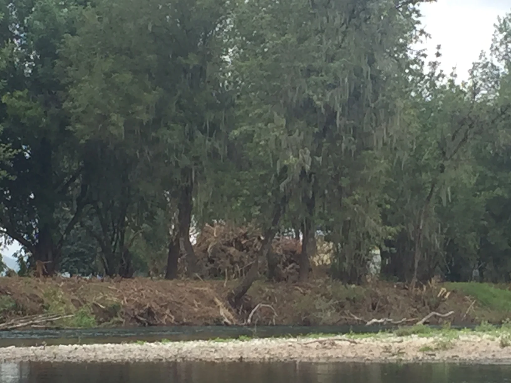
A landowner cuts all of the vegetation along a river bank - clearly the Greenway Goal 15 does not protect the riparian zone in some cases.
Enforcement for breaking the Greenway rules also varies significantly from county to county. In some cases landowners cut down riverside vegetation before the rule went into place, since the Greenway Goal could only apply to actions that took place after the rule was established. This may be why today in some cases, agricultural fields go the the river's edge, with no buffer of trees and shrubs between tilled fields and the river.
In recent years, the Greenway Properties have been utilized for the Willamette River Water Trail, enabling people to gain access to the river and to find places to camp in a primitive setting. In fact the Greenway properties along the Willamette River from south to north are some of the best riverside campsites that can be found.
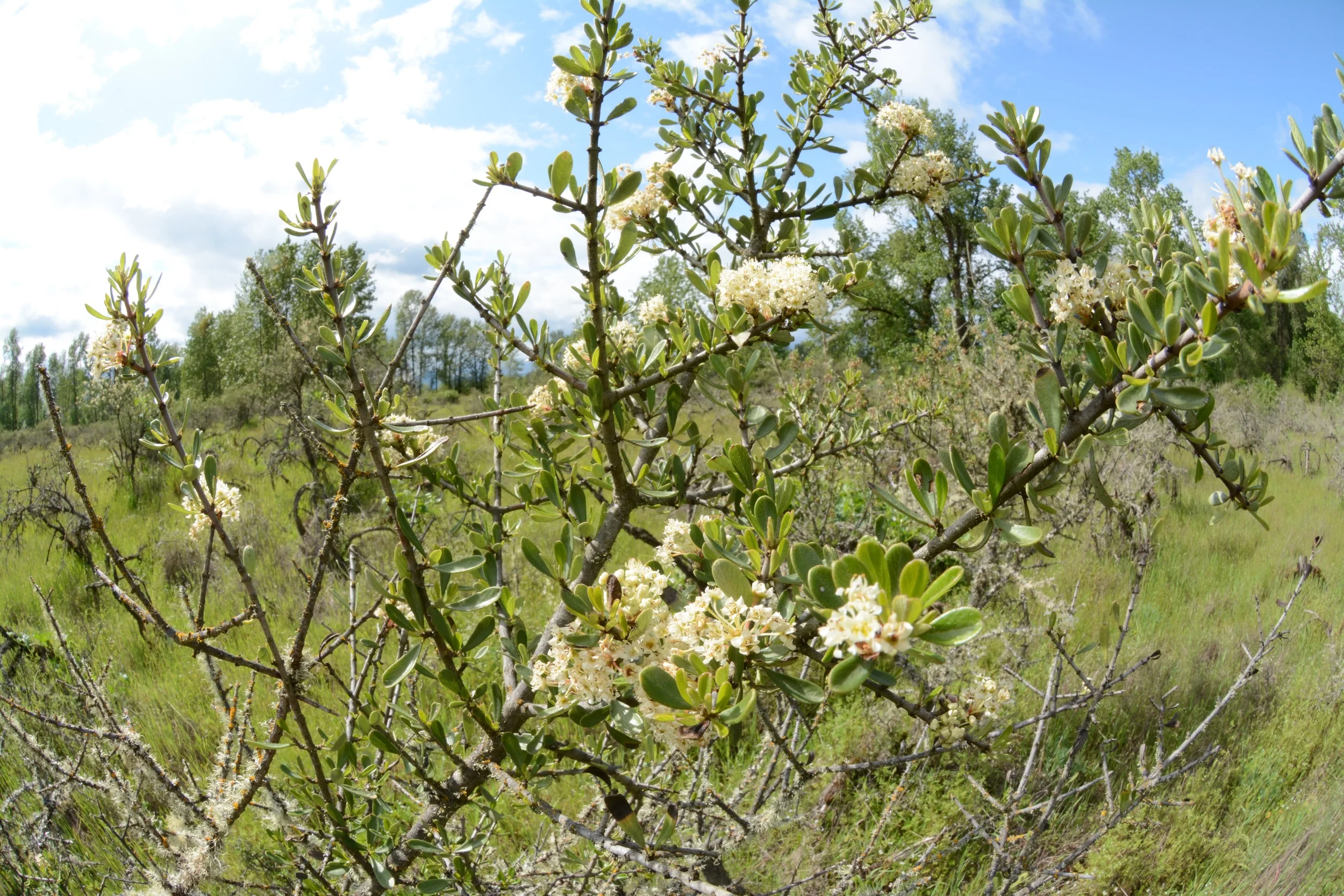
Ceanothus at a Greenway site.
Today, the Oregon State Parks and Recreation Department manages over 10,000 acres of parks and natural areas along the Willamette and its tributaries. The Oregon Department of State Lands also manages a few hundred acres. Some county and city land is also considered part of the Greenway in some cases. Over the past ten years, State Parks has gone from wanting to forget the name "Greenway" due to the difficulties of the past with some agricultural landowners, to increasingly wanting to embrace it. That is something that the Oregon State Parks and Recreation Department (OPRD) should do - embrace their Greenway lands along the Willamette.
Sam Daws Landing - Mainstem on the left, backwater to the right - amazing floodplain habitat.
The land OPRD owns along the Willamette includes developed parks like Willamette Mission, and Champoeg, to little know undeveloped lands, such as Half Moon Bend, and Sam Daws Landing. Combined with some undeveloped County parcels, those owned by non-profits and others, the riverside land base for recreation and watershed enhancement have slowly increased.
In reality the Greenway Program provides some of the only meaningful natural habitat along the Willamette. Here and there these properties arise with hundreds of acres of Pacific Willow, cottonwood, Oregon Ash, Douglas Spirea, and more floodplain native plants. Along with these, here and there are pockets of Wapato, a native plant consumed for many generations of native people in the Willamette Valley and far downstream.
These Greenway properties provide solitude, quiet, and at times an abundance of wildlife and native plants. Some of these places are seldom visited, but to know they are there is something that can be valuable for all of us. If you can visit one of these places, think not only of what you see in the moment, but also think of what has been in the long meandering history of the Willamette river, and also envision what might come to be in these dense, beautiful floodplains and backwaters.
More Info on the Willamette River Greenway.
Below is the wonderful thesis crafted by Web Bauer back in 1980 which provides a good chronicle of some of the history, and limitations of the Greenway Program. Then, Charles Johnson's book about Governor Bob Straub provides an in-depth analysis of Governor Straub's role.
https://ir.library.oregonstate.edu/xmlui/bitstream/handle/1957/9220/Bauer_Webb_S_1980.pdf?sequence=1
http://osupress.oregonstate.edu/book/standing-at-waters-edge
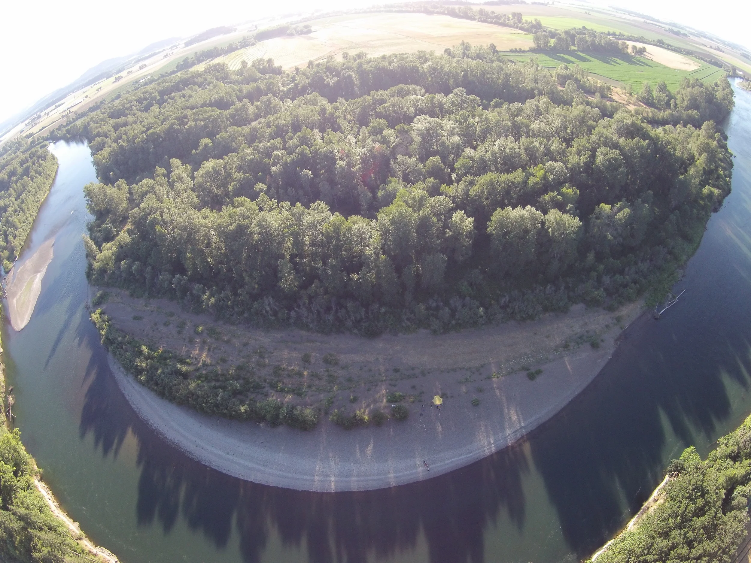
An amazing Greenway backchannel on the upper 40 miles of the Willamette.
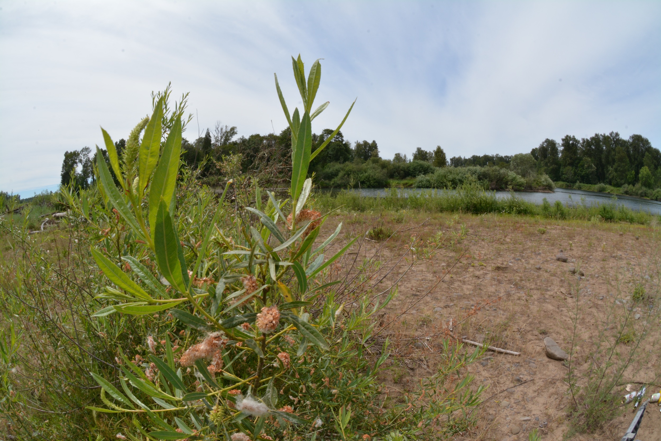
Blue Ruin, downstream of Eugene.
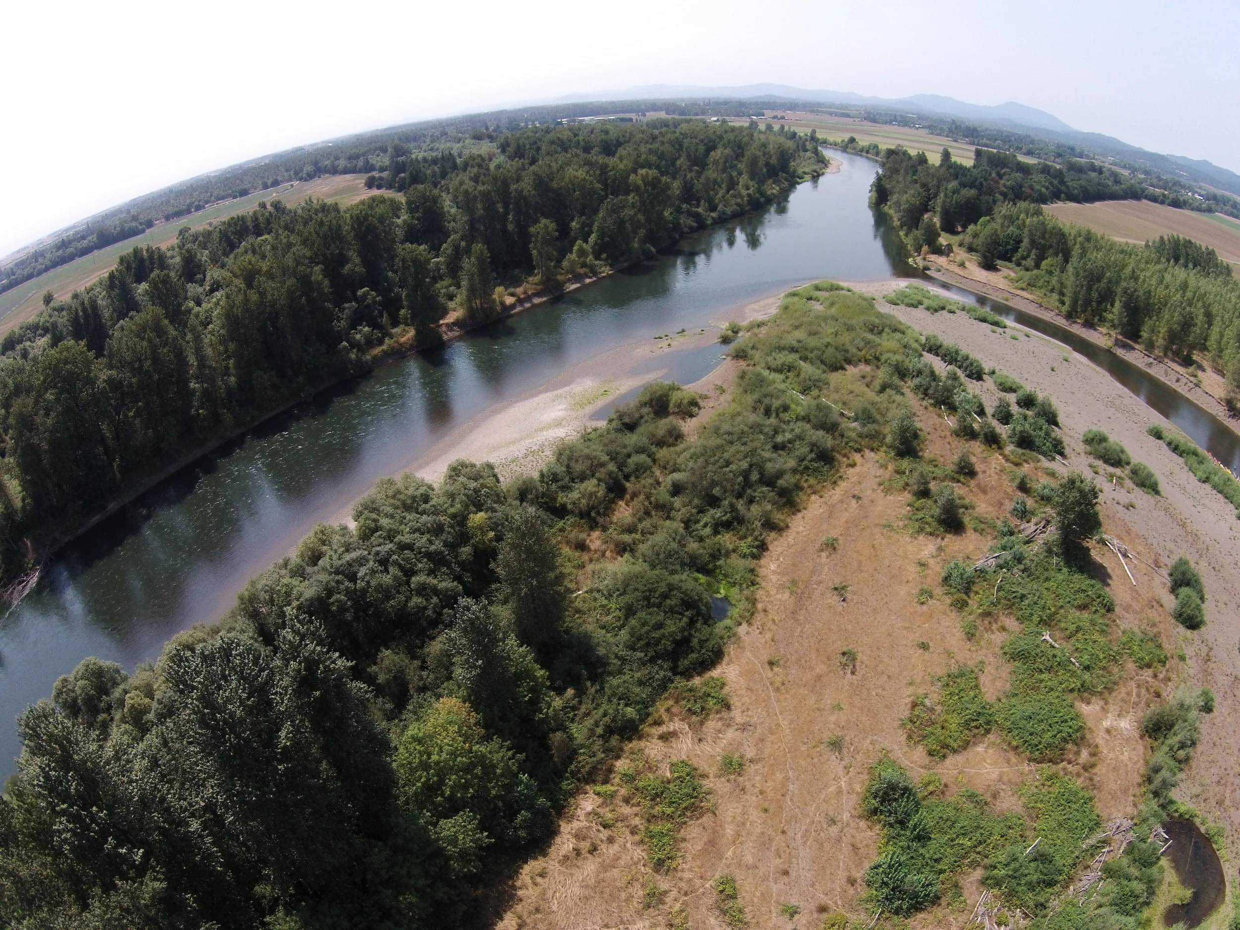
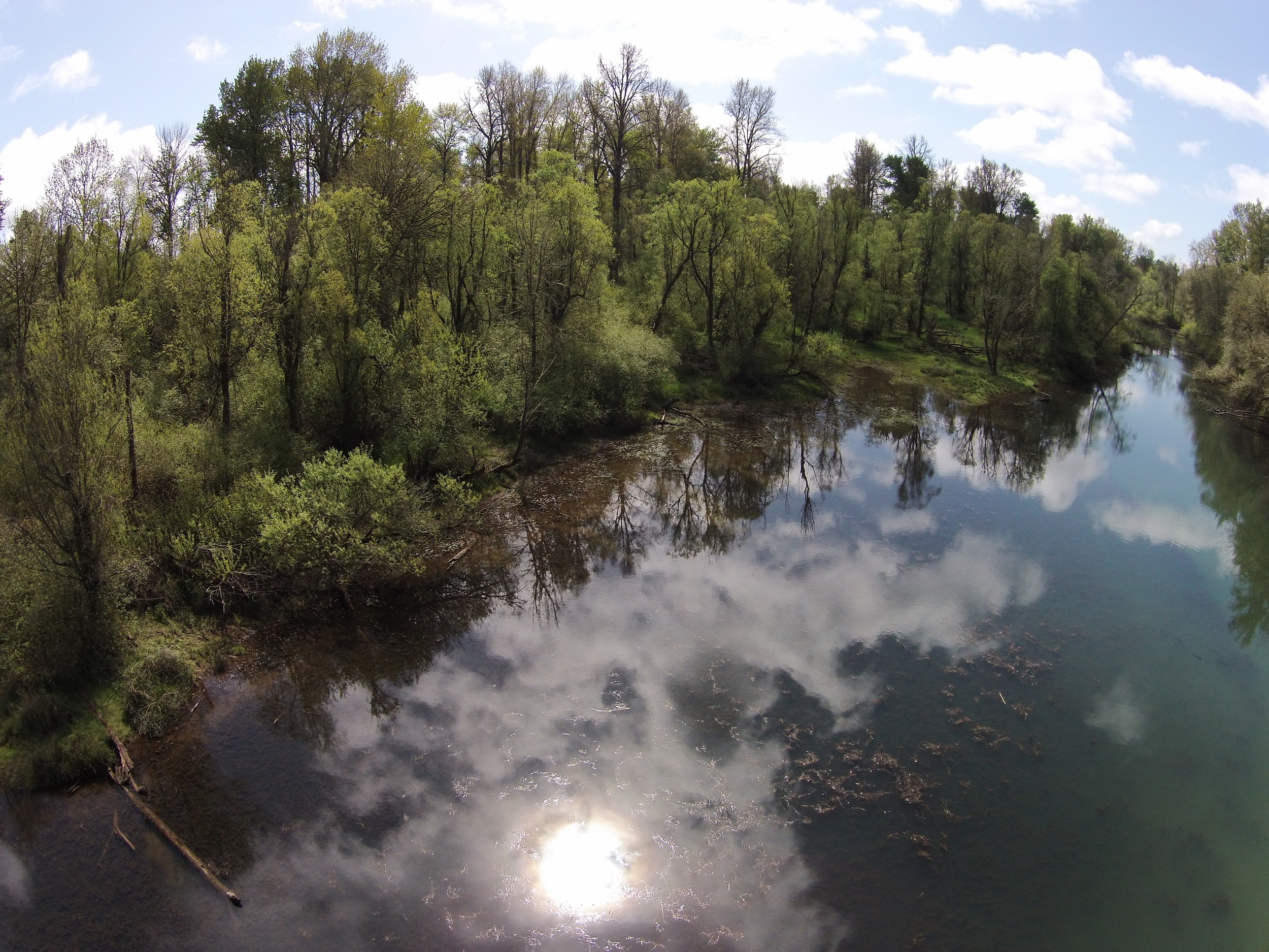
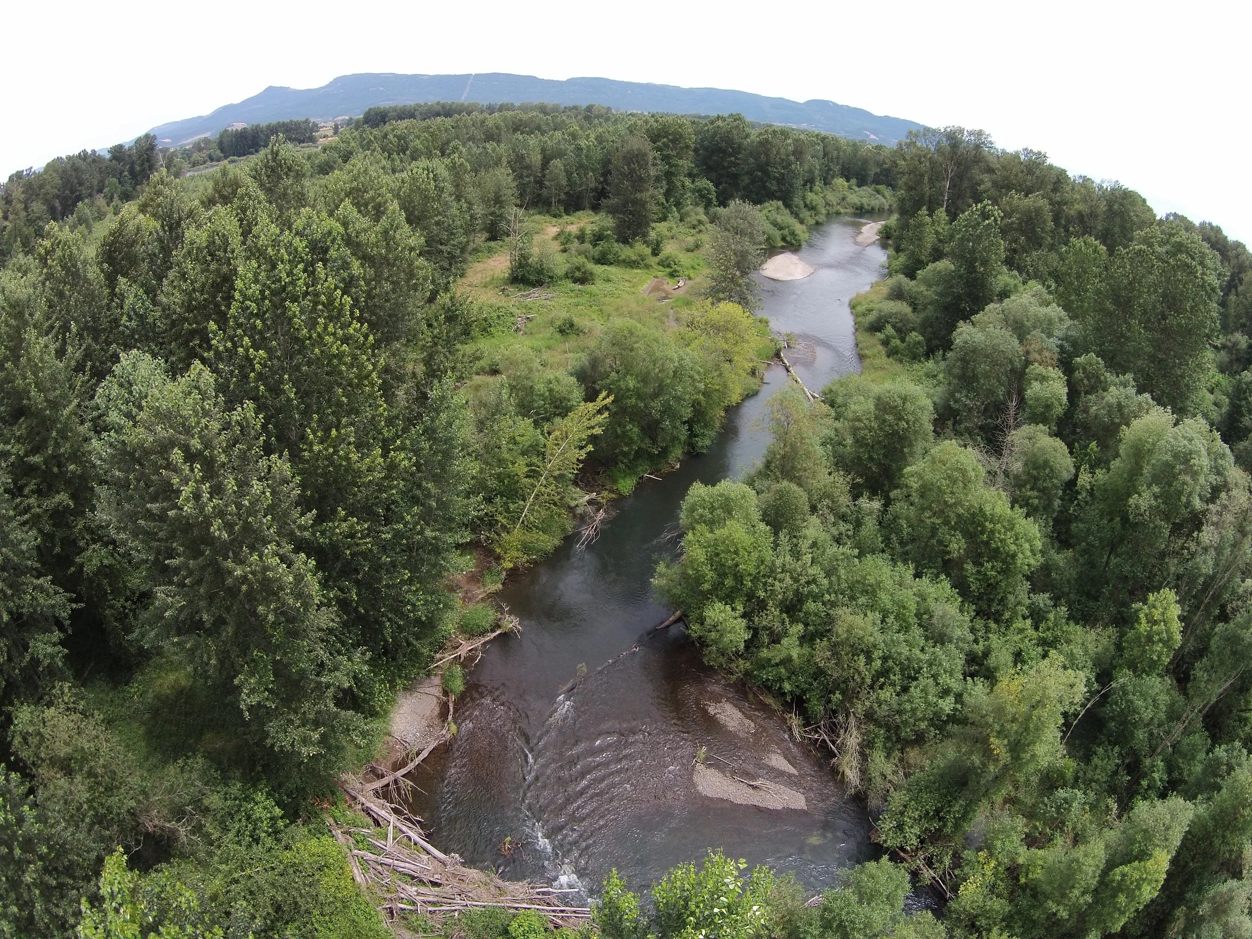
Harkens Lake Greenway Natural Area - Upstream of Corvallis.