FACTS OF THE WILLAMETTE RIVER
Facts About the Willamette River
The mainstem Willamette flows 187 miles north from the confluence of the Middle and Coast Fork Willamette Rivers, to its confluence with the Columbia River.
Bound by the Cascade Mountain Range to the east and the Coast Range to the west, the Willamette Basin is the largest watershed entirely contained within the state, draining 11,487 square miles- that’s nearly 12% of the Oregon!
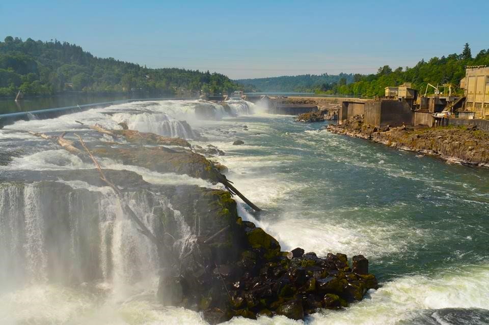
It is the 13th largest river by volume within the U.S., and also claims the 2nd largest waterfall by volume in the U.S. at Willamette Falls in Oregon City (2nd only to Niagara).
There are 13 significant tributaries, and 13 U.S. Army Corps dams, as well as other private dams, along Willamette tributaries, resulting in a highly regulated flow on the mainstem.
One of the key source waters of the Willamette system is Waldo Lake, one of the purest lakes in the world, in contrast to the highly polluted Superfund site located at the “end” of mainstem river, where it flows into the Columbia.
The river winds its way through Oregon’s most populous cities including Eugene, Salem, and Portland, in addition to farmlands, forests, and quiet towns.
70% of Oregon’s population lives in the Willamette Valley, and most of those residents live within a 20 minute drive of the river.
The Willamette River Greenway System, started in the early 1970s and conceived by Governor Bob Straub, now has over 10,000 acres along the Willamette River. Most of it is owned by the Oregon State Parks and Recreation Department, with some additional lands owned by the Oregon Department of State Lands. Some of these lands are large developed Parks, and others are undeveloped natural areas along the river.

Turbid water enters a Willamette side channel from a small tributary.